Projects
Supporting innovative, cutting edge ideas, the Research Innovation Fund (RIF) provides seed grants for cross-college collaborative projects.
How do I apply?
Project Description
Media
Filters
- Project Types
- All
- Animal Health
- Aquaculture
- Automation and Robotics
- communities
- Communities/Farmers/Relations
- Computational Modeling
- Controlled Environment Agriculture
- Crop Production
- Dairy/Livestock Production
- Data Integration and Processing
- Farmers
- Farmers, Communities, Relationships
- Food Safety
- International Agriculture
- Iot and Networks
- Machine learning
- Machine Learning
- Plant Breeding
- relations
- Sensing Technology
- Soil
- Trustworthy AI
- Years
- Project Creators
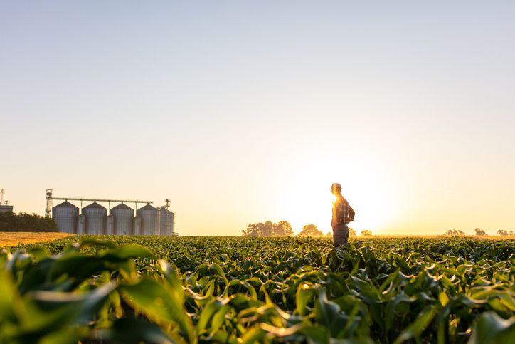
Multi-sensor Crop Monitoring Platform
This project intends to build a ground-based crop monitoring platform that can analyze crop physiology and canopy characteristics by collecting data during the growing season of maize. Several sensing technologies including a line sensor, an RGB camera, and a lidar will be equipped to the platform to help collect crop physiology data at a high frequency. This platform will be deployed on a maize field of the campus farm where researchers can obtain accurate trends of the maize growth. Currently, the platform works well in a laboratory environment but faces issues in the field due to the effect of the bright sunlight on the ability of sensors to measure crop height at high throughput. The goal is to debug and improve the existing line sensing sensor so that it works on real farms with robustness. If time permits, an automated movement, and navigation system can be added to the platform. This allows the platform to travel straight along a row of maize while collecting data on its own.
Chenxi Qian (GR-COE); Louis Longchamps (CALS); Joseph Skovira (COE)
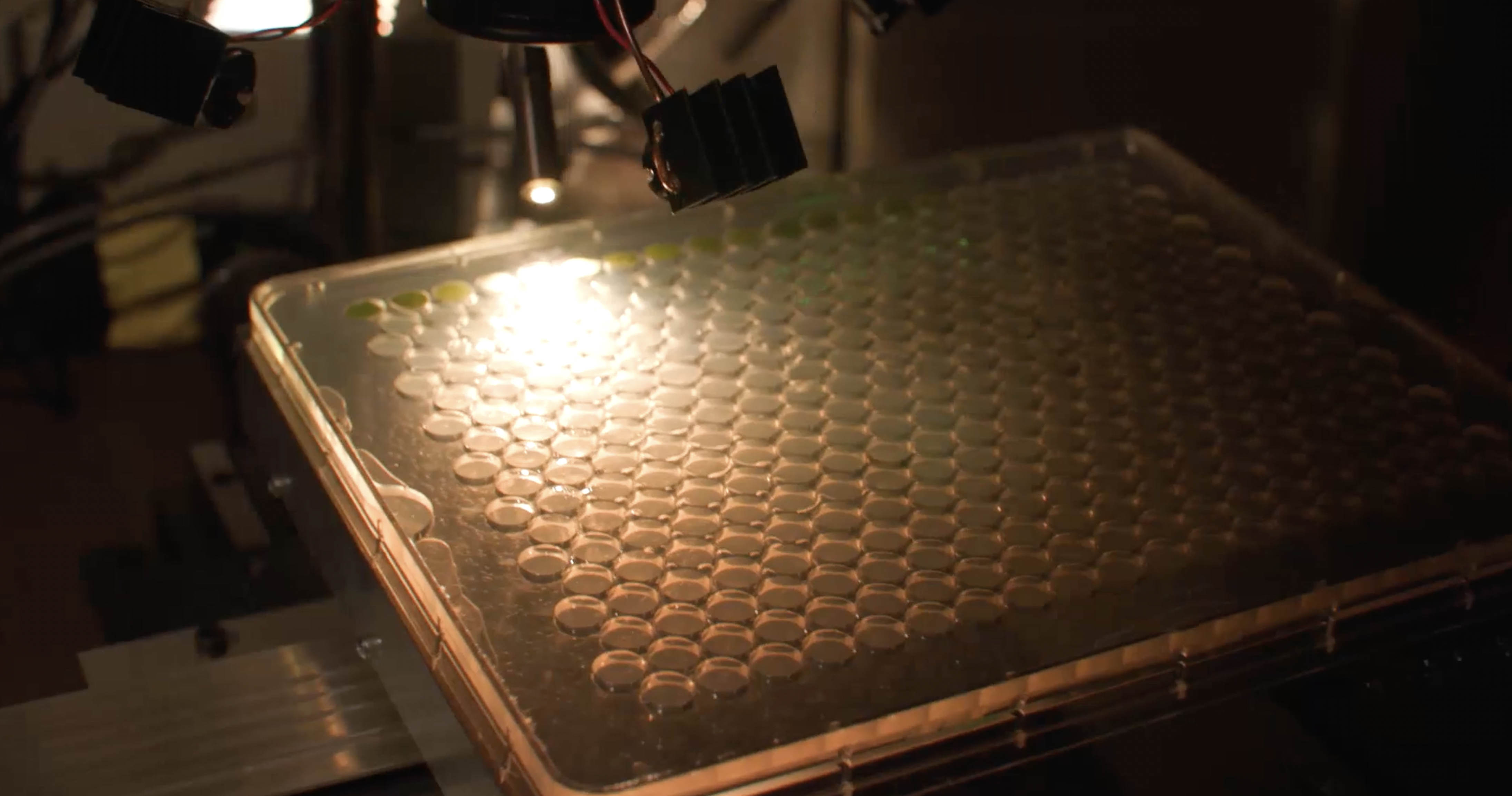
Human-Centered Hyperspectral Sensing Robot and Analysis System for Plant Stress Research and Management
Sensing, robotics, and artificial intelligence (AI) are the leading edge of a technological revolution in agriculture. Present barriers unnecessarily destroy users’ interest in technology adoption, constraining HTP and DA applications to a narrow slice of what should be a broad, if not all-encompassing stakeholder base. This project proposes to develop a human-centered hyperspectral sensing robot and analysis system that enables not only critical research experiments but also confident adoption of AI technologies for data analysis and decision recommendations, moving from highly controlled to more complex systems.
Yu Jiang (CALS), Qian Yang (CIS), Katie Gold (CALS), Hans Walter-Peterson (CALS), David Gadoury (CALS), Lance Cadle-Davidson (CALS)
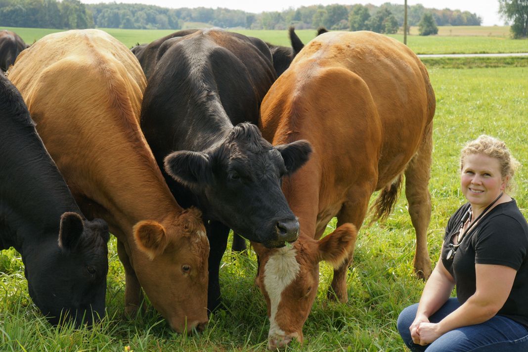
Design and development of a multimodal sensing technology to characterize and quantify changes in suckle behavior in dairy breed calves that experience pre-weaning morbidity events
There is growing interest in the use precision technologies for dairy calf management. However, there are currently few sensors commercially available and validated for use in this population. The objective of this project will be to develop novel and rugged multimodal sensors for integration with automated milk feeding stations; to measure and characterize suckle behavior including pressure sensing (pattern, duration, speed), oral contact temperature (at the point of maximum contact on the palate), and vibrations (created while breathing during suckling) in healthy and diseased pre-weaned dairy breed calves; and, to determine associations of changes in these parameters with morbidity and mortality outcomes in dairy breed calves prior to weaning. The ability to detect subtle physiological and behavioral derangement in group housed calves fed by automated milk feeders will improve early disease detection in dairy calves, inform decisions on disease intervention, monitor recovery, and improve overall calf health and welfare.
Taika von Konigslow (CVM); Tapomayukh Bhattacharjee (CIS)
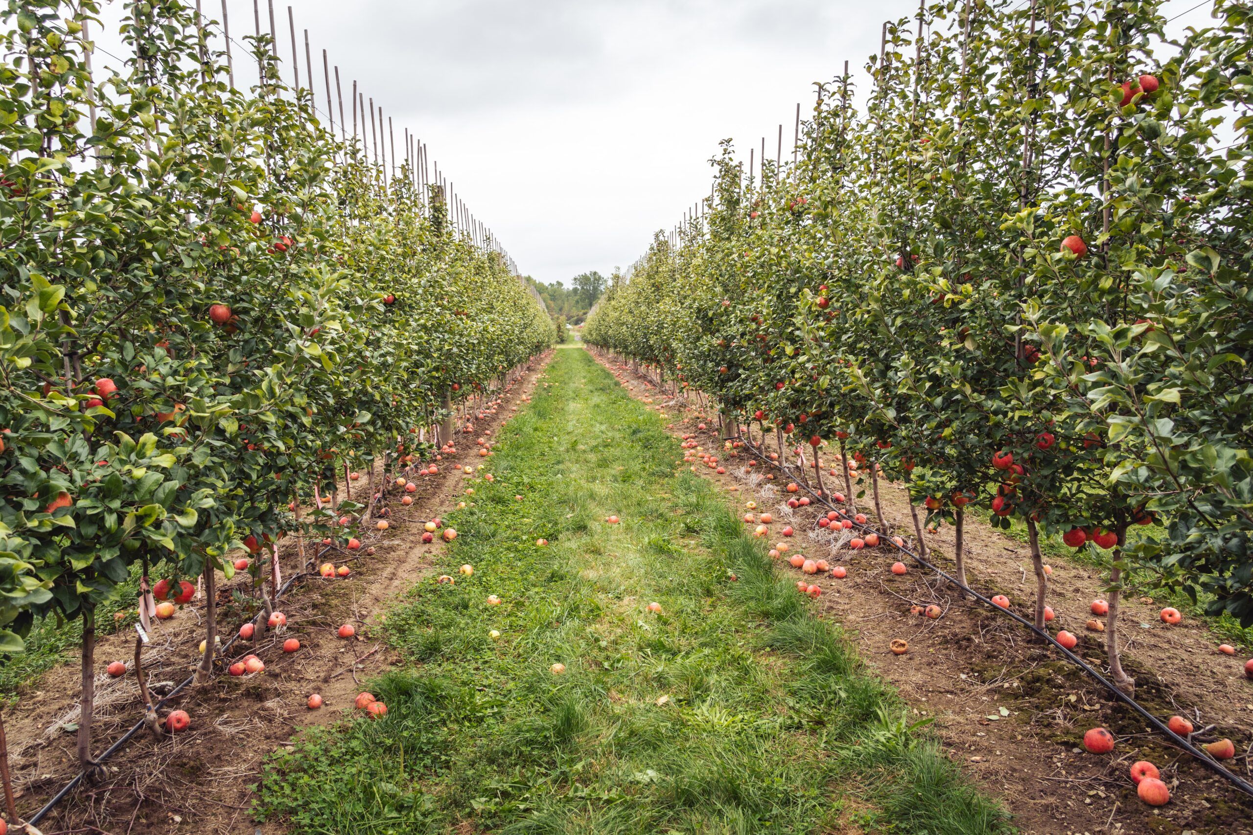
Quantifying 3D vegetative growth and light environment for orchard trees with terrestrial lidar and computational modeling
In orchard plantation systems, vegetative growth is a critical plant ecophysiological process that regulates tree architecture, carbon sequestration, and production of tree crops. Tree carbon allocation and growth patterns are determined by both genetic differences and tissue-level micro-environment. However, accurate and cost-effective quantification of tree vegetative growth has been challenging, especially at fine spatial scales (e.g. branch-level). In this project, we propose to use portable terrestrial laser scanning (TLS) to track fine-scale 3D changes in leaf area and woody volume for several cultivars of apple trees. The project will generate public and accessible workflow and software to quantify 3D tree architecture and vegetative growth and enhance our quantitative and predictive understanding of plant carbon allocation, which can guide sustainable management (e.g., pruning and optimizing carbon sequestration) for tree plantations and forests.
Xiangtao Xu (CALS); Steven Marschner (CIS)
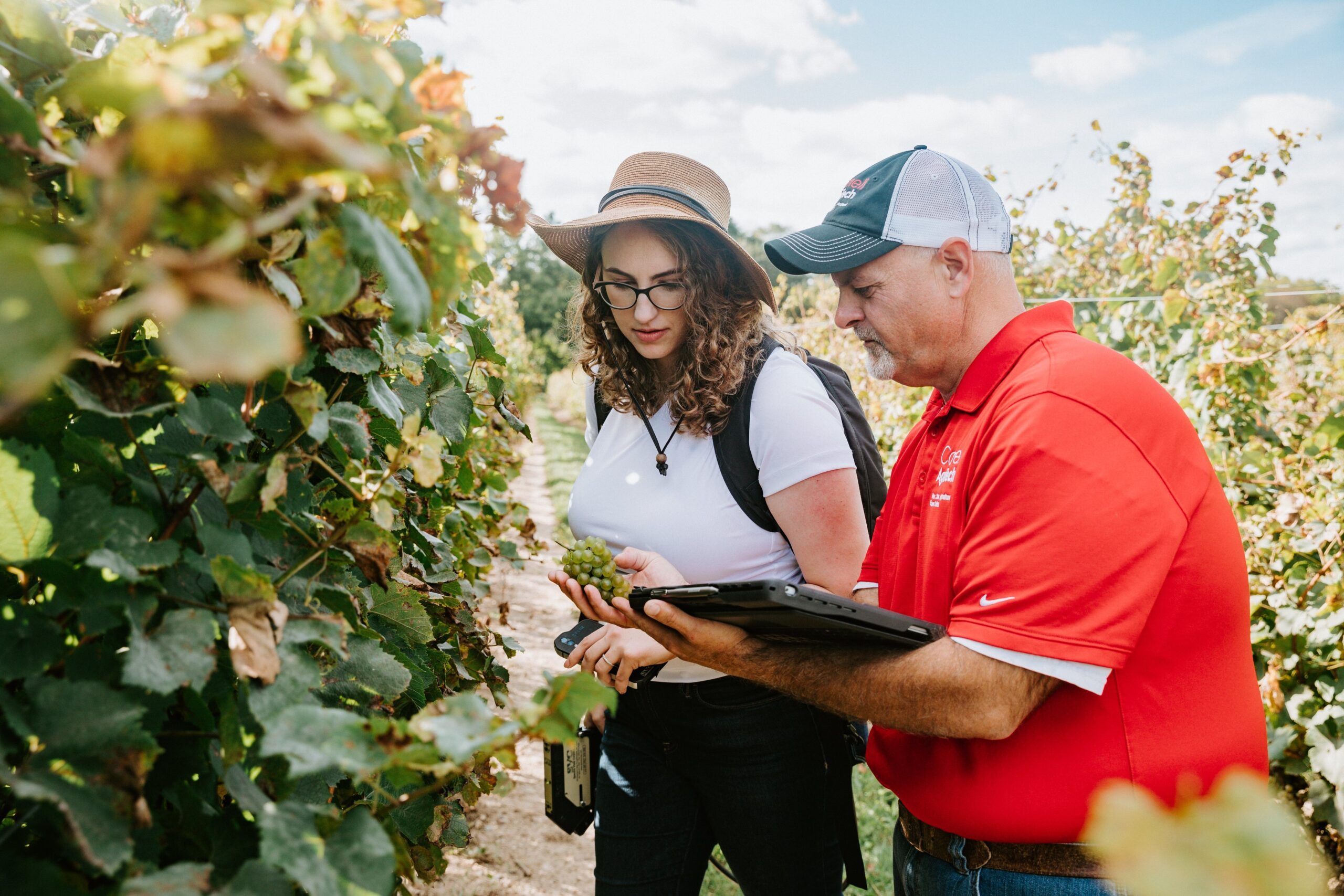
Accelerating the application and adoption of remote sensing decision support in Northeastern viticulture
This project proposes to accelerate the application and adoption of remote sensing in Northeastern viticulture through an approach focused in research and extension with large implications for the NYS grape-growing region and the empowerment of local farmers. Remote sensing is a widely popular tool in most major grape growing regions of the world but has yet to be adopted in the eastern U.S. Using a combination of high resolution (sub-1m) satellite imagery, hyperspectral solar induced fluorescence (SIF), and synthetic aperture radar (SAR) sensing data the project will develop new methodology for crop and disease management in conjunction with CCE and in partnership with eight local growers. Research results will guide the project vision to develop an integrated decisions support system informing early crop and disease management intervention.
Katie Gold (CALS), Rowena Lohman (COE), Justine Vanden Heuvel (CALS), Ying Sun (CALS), Terry Bates (CCE), James Meyers (CCE), Jennifer Russo (JCB), Alice Wise (CCE), Hans Walter-Peterson (CCE), Yu Jiang (AgriTech)
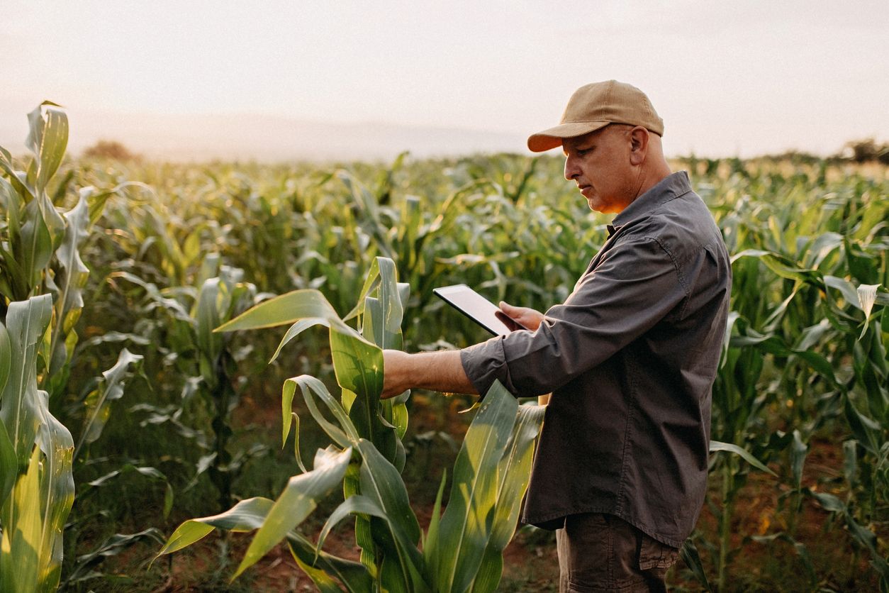
Dynamic Crop Height Measurement for N Management
The use of Nitrogen fertilizers in moderation can promote plant growth and boost crop yield, while in excess it can be harmful to the plant and the environment. By developing a system that can accurately capture the height of plants in a field, we can compare the rate of growth of different crops in response to N treatment and find the optimal time and amount of N to apply. An array of laser diodes paired with photoresistors will simulate a gate of light and through programming we can detect if the gates are either closed or open. This system works well in a controlled environment but in a natural environment, reflections from other surfaces and on a particularly bright day when there is a lot of natural light, are challenging. Throughout the 10 weeks of summer we will test new methods to improve sensor data.
Charles Smith (UG-COE), Primary Advisor: Louis Longchamps (CALS), Secondary Advisor: Joseph Skovira (COE)
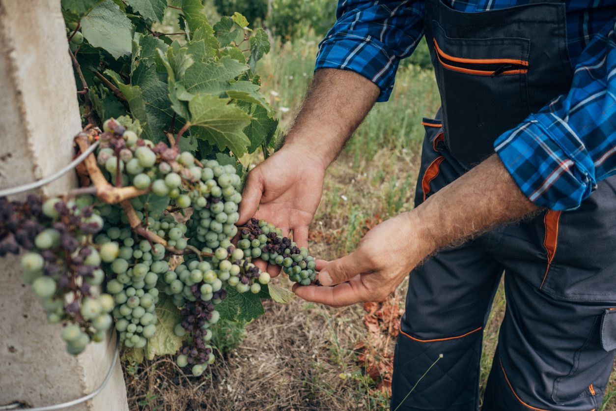
Accelerating the Application and Adoption of Remote Sensing Decision Support in Northeastern Viticulture
Current plant disease detection frameworks are inefficient and inaccurate because they primarily rely on human detection via scouting – the process of physically visiting a field and looking for disease. By the time disease is discovered, the period of time when management intervention would be most effective has long passed. My research with the Gold lab combines remote sensing, high resolution satellite imagery, with environmental data to optimize disease detection in vineyards. Throughout the course of our project, I will design a novel disease prediction scheme that combines DMCast, an existing disease risk model, with spectroscopic imagery within a deep learning architecture. Once trained on historical data, this model can be integrated into computer vision techniques that extract insights from satellite imagery, creating a powerful framework for the future of vineyard disease management.
Somil Aggarwal (UG-COE), Primary Advisor: Katie Gold (CALS), Secondary Advisor: David Shmoys (CIS)

New soil robotics and sensing for soil-root phenotyping of water-use effectiveness
Soil, the microbiome, and plant roots represent a critical frontier in agricultural science and practice. The opacity, heterogeneity, and dynamic nature of soils have severely limited in situ studies, phenotyping, and precise interventions as part of soil and crop management. Here, we will develop two innovations to access real-time information about the availability and flow of water in the rhizosphere: 1) a sensing strategy to provide sub-millimeter resolution of water relations (potential, content, and conductance) within the rhizosphere, in situ; and 2) a soil-swimming robot to provide semi-autonomous exploration of the root zone with multiple sensing modalities. We will pursue experiments with our emerging capabilities guided by scientific questions about roots and rhizosphere to drive new approaches to field-based phenotyping and management of irrigation and fertigation. The technology will lead to improved management of grain, horticultural, ornamental and tree cropping systems. Our project emphasizes a systems-based, trans-disciplinary approach and seeks to enhance and apply new innovations and technology to include below-ground phenotyping (e.g. rhizosphere plant-soil interactions), sensor technology (e.g., real time soil water flux), robotics (e.g., spatio-temporal environmental sampling).
Taryn Bauerle (CALS), Robert Shepherd (COE), Mike Gore (CALS), Johannes Lehmann (CALS), Abe Stroock (COE)
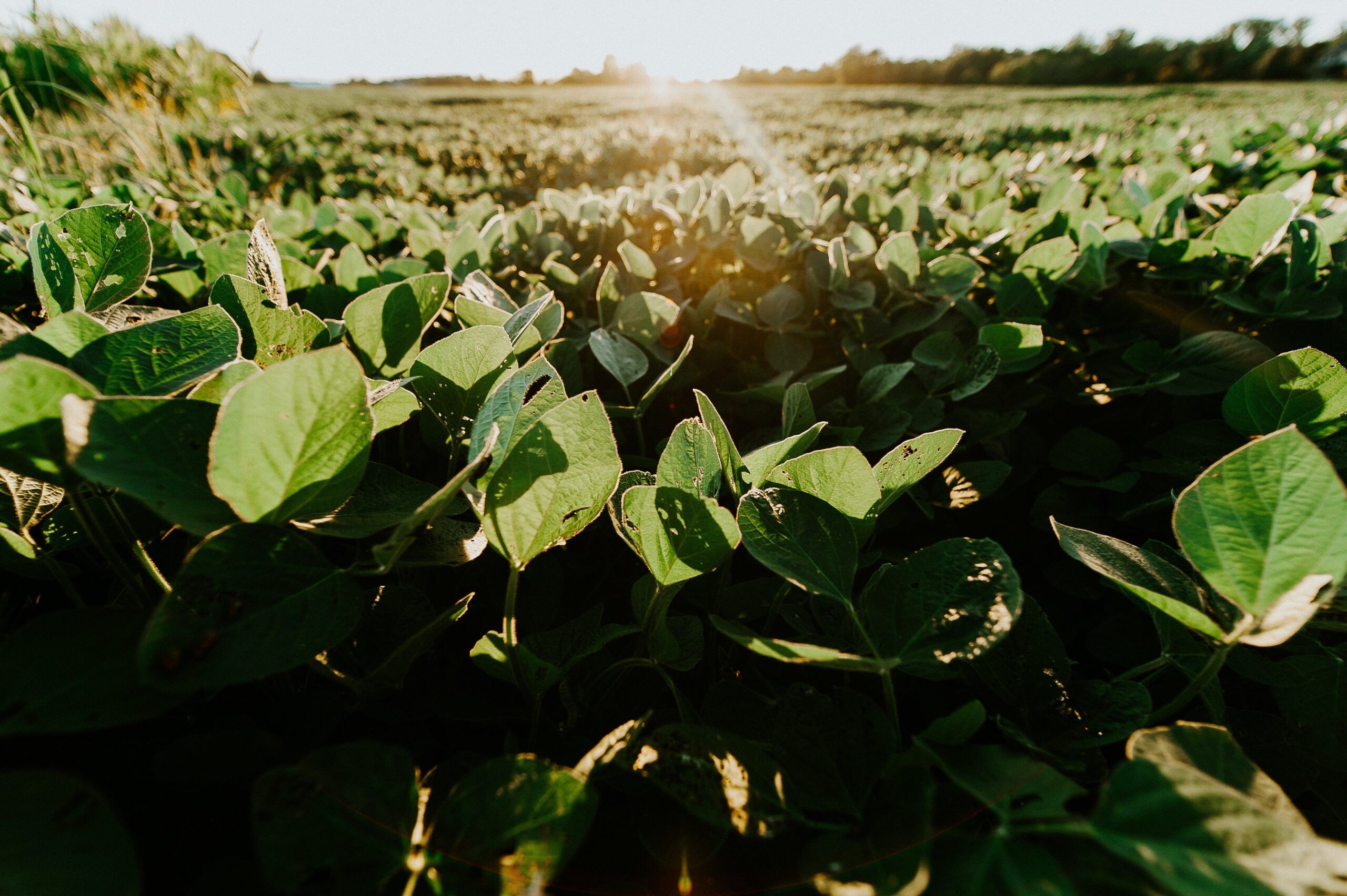
Remote-sensing based framework for farm-scale in-season crop yield forecast
This proposal aims to develop scalable, field-scale, in-season forecast approaches for crop yield at low cost by synergistically integrating new technological advances including UAV/satellite remote sensing of Solar-Induced Chlorophyll Fluorescence (SIF) and hyperspectral reflectance, the state-of-art mechanistic crop growth models, and machine learning techniques. We propose to develop both process- and statistics-based approaches for yield forecast and examine their complementary strengths for large-scale operational application. We will finally build a Google Earth Engine based web portal to report yield forecast on weekly basis to inform farmers, agribusinesses, and extension agents in near real time. We will seek input and feedbacks of our developed framework from local farmers via Cornell Cooperative Extension and New York Corn and Soybean Grower Association during the course of the project.
Ying Sun (CALS), Carla P. Gomes (CIS), Ariel Ortiz-Bobea (JCB)
- ALL
- Computational Modeling
- Data Integration and Processing
- Machine Learning
- Automation and Robotics
- Sensing Technology
- Iot and Networks
- Trustworthy AI
- Plant Breeding
- Crop Production
- Controlled Environment Agriculture
- Soil
- Dairy/Livestock Production
- Aquaculture
- Food Safety
- Animal Health
- International Agriculture
- Communities/Farmers/Relations
Become a Fellow
Stay up to Date
If you have a disability and are having trouble accessing information on this website or need materials in an alternate format, contact web-accessibility@cornell.edu for assistance.
CIDA Copyright 2023 | CIDA is an equal opportunity employer | Terms of Use | Privacy Policy